 >
>Geography of Egypt
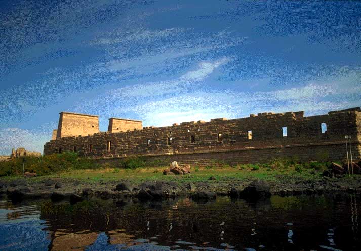
The Egyptian civilization developed along the Nile River. The Nile was seen as the giver of life. Every year in September, the Nile would flood. By November, the floodwaters would recede leaving behind a nutrient-rich silt which Egyptians were able to use for planting. Narrow areas on both sides of the river were suitable for agriculture. The Nile also provided an easy path for communication and thus contributed to the unification of the country. Egypt's geography also reinforced its security.
Deserts to the east and west, the Mediterranean to the North made attempts to conquer Egypt very difficult for potential invaders.
Herodutus on the Nile:
For indeed without trouble they obtain crops from the land more easily than all other men... They do not labor to dig furrows with plough or hoe or do the work which other men do to raise grain. But when the river itself inundates the field and the water recedes, then each man, having sown his field, sends pigs into it. When the pigs trample down the seed, he waits for the harvest. Then when the pigs thresh the grain, he gets his crop.